How can we help
Precision and Expertise in Every Project

GIS
We provide our clients with GIS services, which use satellite maps to unify and update urban planning and management data accurately and easily.

Surveying and Mapping
We provide surveying services, including property tax mapping, tower surveys, GPS and total station surveys, and railway map drawings.

Software and App Development
We have a talented young team that creates custom software and develops mobile and hybrid apps to meet your needs.

Engineering Services
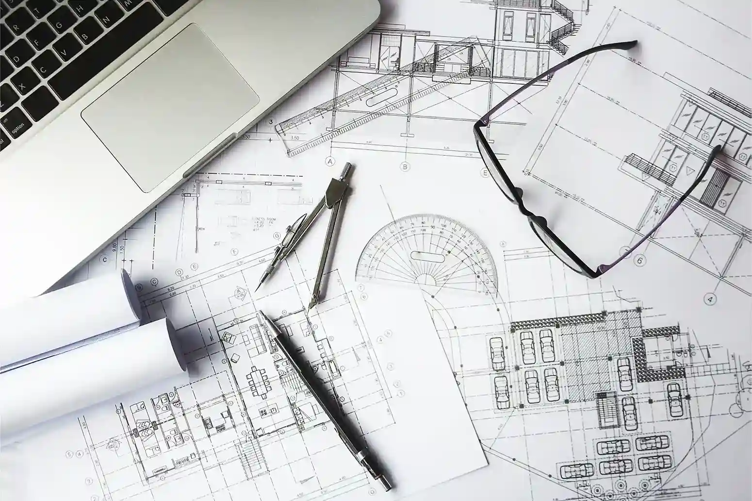
Our team, with over 5 years of experience, offers engineering consultancy services like DPR, cost estimates, and engineering drawings.


40+
Experienced Consultants

100+
Successfull Projects

600%
Experts Employee

100+
Happy Client

Our mission
Building a Better Future with Geo Services
Providing the Services and Tools for Industry Excellence and Better Planning
Provide the geo-spatial services to organizations with the tools and support to achieve overall industry excellence in various domains for better planning. Provide employees an excellent and enriching environment and that enables evaluation, team essence, responsibility and sense of arrogance.
Propagate Geo Information Technology amongst all stakeholders to help achieve overall higher levels of efficiency Support the nation’s natural resources growth, development and management through our Remote Sensing & GIS technologies.
our services

Surveys
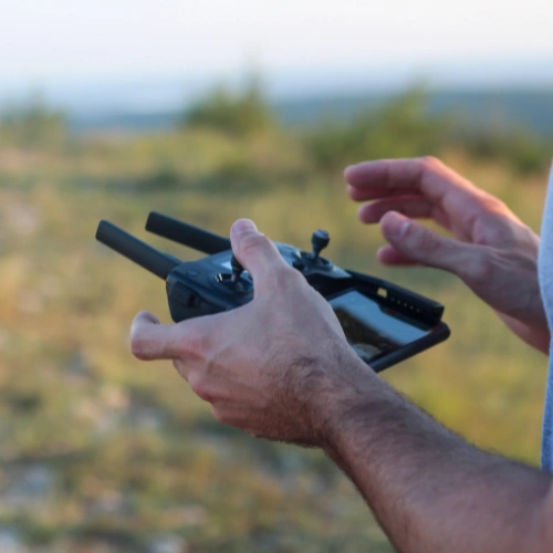
Brothers Research offers different types of surveys like drone surveys, route surveys, tax mapping, tower surveys, GPS and total station surveys. They always deliver great results.


Software Solution
Get a professional software solution. Our developers create custom IT tools that help clients easily understand and use geo-spatial data and web-based mapping applications.


GIS Services
We offer various GIS services like remote sensing data processing, ensuring great results. Our solutions include a range of GIS options, delivering excellent outcomes in remote sensing and more.

Mapping
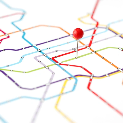
We offer mapping services like property tax collection mapping, tower surveying, and creating railway maps. Our services ensure accurate and reliable maps for various needs.

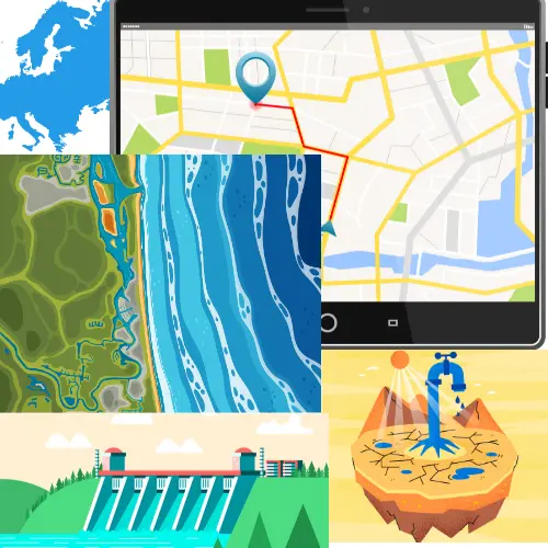
Water Resources
Proper water studies use the physical and chemical features of water sources and also offer watershed services. These studies help understand water resources better and manage them more effectively.

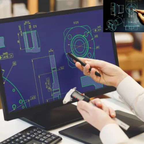
CAD Services
We save our clients time by offering CAD services like raster image scanning and creating 2D and 3D drawings. Centric Plan delivers these redrafted documents in AutoCAD format, ensuring easy use and accessibility.


Power Utility
We offer different types of power utility services, including power generation, distribution, and solar energy solutions. Our services cover everything from producing electricity to distributing it and harnessing solar power.


GIS Based Training Programme
WGT India provides top-notch education and training in GIS, Remote Sensing, CAD, CAM, and application development. We aim to train professionals for success in the global GIS industry.
trust us
Our Values: Integrity, Quality, and Community

Contact us: +91-8700940474

Contact us: +91-8853293895

Contact us: +91-9005278097


